REFURBISHED PHONES
UKs Largest selection of Refurbished Used Second hand and Unlocked Phones. Apple iPhones , Samsung Galaxys all shipped free Next Day from the UK. Get the cheapest and best deals on Used and Refurbished iPhones and Phones. Save money on contract phones as our unlocked (sim free) can be used on any network.
RATED EXCELLENT
Handtec is rated Excellent on TrustPilot with over 25000+ Reviews.
12 MONTH WARRANTY
12 month warranty and 14 day money back guarantee as standard
FAST DELIVERY
We offer many delivery methods. From free, next day and even weekend options
Shop our most wanted

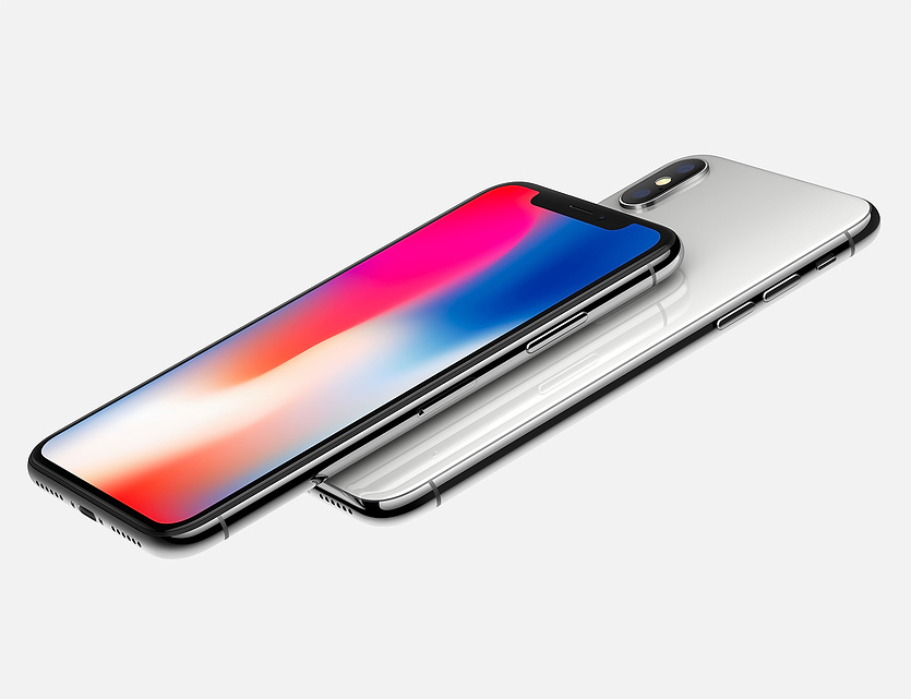
Refurbished Apple iPhones

Refurbished Samsung Phones

Refurbished OnePlus

Refurbished Huawei

Refurbished Apple Watches
Refurbished Google Pixels

Refurbished Motorola

Refurbished Macbooks

Refurbished Apple iPads

Refurbished with 10% OFF at checkout
Trade In Your Existing Phone
We offer a Guaranteed and not 'up to' prices like others. Provided your device is received as described, you'll receive the full value in 24 hours. Not happy? We will return your device free of charge.
Searches so popular - you can't sit with them
Best-in-class refurbishment
100-point quality inspection
Free 14-day returns
1-year warranty
Flat 10% OFF- 2026

Reliable Support From Real Tech Experts
At Handtec, we are committed to delivering reliable products and exceptional customer service.
Every order is carefully handled to ensure quality and customer satisfaction. Shop with confidence knowing your purchase is protected by our 1-year warranty and hassle-free 14-day returns.

Wholesale Tech Solutions for Modern Businesses
Partner with Handtec for premium wholesale deals on refurbished iPhones, iPads, Apple Watches, Macs, and more.
We provide competitive bulk pricing, fast quotations, reliable device quality, and dedicated B2B support to help your business grow with confidence.
Popular searches
Here at Handtec all our Refurbished phones are prepared by certified Engineers and are quality assured. Devices can be pre-owned or customer returns and if parts are required we only use Genuine certified parts. You can be rest assured you will find the deals on cheap phones. Our Mobile Phone deals come with a 14 Day money back guarantee and 12 Month Warranty
Above is only a small selection of Used Phones - Check out our full Menu at the top of the Page. Happy Savings from Handtec :)
We also offer customers to review their purchases. This is sent after 14 days so customers can fully experience the purchased device. Some customers even send us pictures :)
